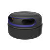
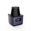
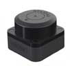

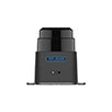

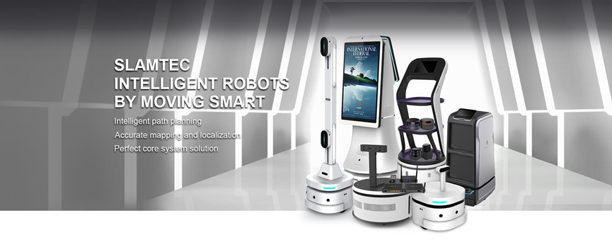
SLAMTEC is a company dedicated to the research and production of LiDAR technology. LiDAR sensors utilize laser beams to measure distances to targets and generate high-resolution maps. They find wide applications across various sectors including catering, hospitality, government affairs, business, education, healthcare, among others, helping businesses reduce costs and increase efficiency. Below are some application areas of SLAMTEC LiDAR sensors.
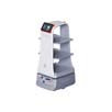
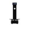
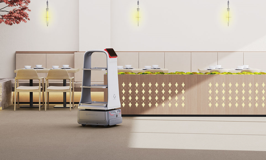
Navigation for Intelligent Robots
SLAMTEC’s LiDAR sensors can be used for positioning, navigation, and obstacle avoidance in smart robots. Robots scan the surrounding environment with LiDAR, generate real-time maps, and use SLAM (Simultaneous Localization and Mapping) algorithms to determine their own positions, thus achieving precise navigation and obstacle avoidance functions.
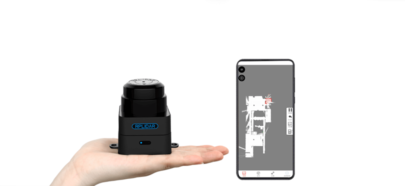
Indoor Localization and Mapping
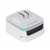
LiDAR sensors can perform localization and mapping in indoor environments. This is crucial for applications such as smart homes, smart offices, and indoor positioning navigation, including smart cleaning robots and unmanned warehouse management systems.
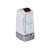
Smart Retail and Warehouse Management
In smart retail and warehouse management, LiDAR sensors significantly enhance productivity, reduce costs, accelerate large-scale deployments, and ensure operational safety in various scenarios such as warehouse logistics AGVs, inspections, and cleaning.

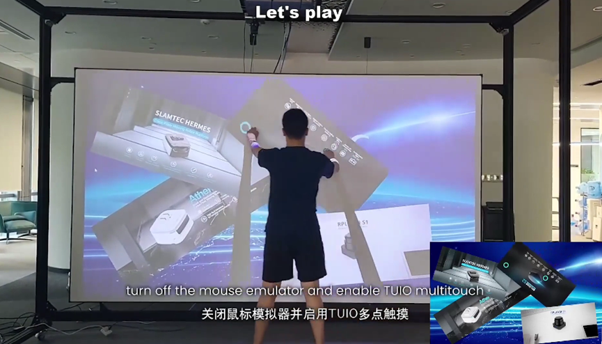
Multi-point Interaction
Using LiDAR to scan the gestures or body movements of the audience or users, real-time gesture recognition and tracking can be achieved. Combined with projection technology, interactive content can be projected onto specific screens or surfaces, allowing the audience to control and operate through gestures. For example, in exhibitions or events, LiDAR multi-point interaction applications can be used for product presentations, art displays, educational demonstrations, etc.
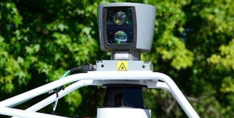
Unmanned Aerial Vehicles (UAVs)
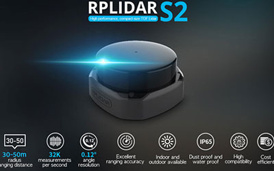
Depending on the usage scenario of UAVs, different specifications of RPLIDAR series LiDAR can be integrated. Due to the minimal influence of light interference, LiDAR provides excellent mapping results under various lighting conditions. Specifically, our RPLIDAR A3 and S series LiDAR have been carefully optimized for outdoor sunlight conditions, delivering outstanding performance to meet the diverse needs of UAV applications.
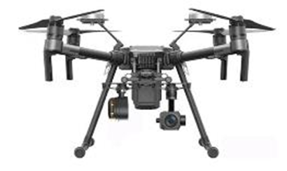
Integrating SLAMTEC’s RPLIDAR A2 into a Drone
Adaptability: Our LiDAR exhibits outstanding adaptability to various environments, maintaining stable performance in strong light, weak light, and outdoor sunlight conditions.
Enhanced Data Accuracy: We have optimized our LiDAR data collection and processing algorithms for outdoor sunlight conditions, improving data accuracy and stability. This means that drones can more accurately capture environmental information in complex lighting environments, enabling more precise mapping and positioning.
Increased Interference Resistance: Our LiDAR boasts strong interference resistance, effectively mitigating issues such as light interference and stray light, ensuring stable performance in diverse and complex environments.
In summary, SLAMTEC’s LiDAR technology finds widespread applications in daily life, spanning across smart homes, intelligent retail, robotics, and urban planning. It offers convenient and intelligent solutions to enhance people’s lives and work efficiency.