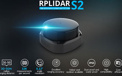
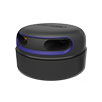
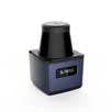
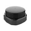
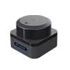
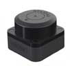

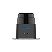
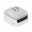

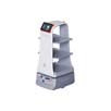
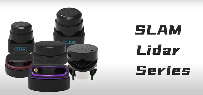
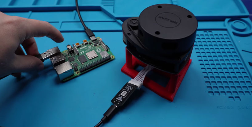
SLAMTEC RPLIDAR series LIDAR equipment is a powerful environmental perception tool. They support 360° scanning and ranging, and can accurately measure obstacles in the environment. Not only do they offer excellent quality and performance, they are also easy to use. They can be connected via a USB cable to a PC, Jetson NANO, Raspberry Pi and other microcontrollers, making them ideal for building LIDAR sensors in robots.
Using SLAMTEC RPLIDAR in ROS
In order to use the SLAMTEC RPLIDAR in ROS, you need to install the appropriate ROS packages and drivers to ensure that the LIDAR works together with the ROS system. Once installed, you can start creating robot navigation maps by following these steps:
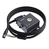
① Connect the RPLIDAR: First, connect the SLAMTEC RPLIDAR device to your computer or control unit.
② Install the ROS software package: Install the ROS software package suitable for SLAMTEC RPLIDAR. These software packages will help you communicate with LIDAR devices.
③ Configure ROS environment: Set ROS environment variables to ensure that the system correctly identifies and connects to SLAMTEC RPLIDAR.
④ Start the ROS node: Use the ROS node to start the LIDAR and start receiving data.
⑤ Mapping and navigation: Use SLAM algorithm and navigation software package to create maps and achieve autonomous navigation. There are many powerful tools and libraries available in ROS.

Tips and advice
Choose the appropriate RPLIDAR model: Different RPLIDAR models have different shapes and performances, choose according to project needs.
Optimization parameters
In ROS, you can adjust the parameters of the SLAMTEC RPLIDAR for optimal performance. Experiment with different parameter settings to suit your project needs.
Make use of learning resources
The ROS community provides a wealth of learning resources, including tutorials, sample code, and documentation. Take advantage of these resources to gain a deeper understanding of integrating SLAMTEC RPLIDAR with ROS.
These steps and tips will help you successfully combine SLAMTEC RPLIDAR with ROS to create robot navigation maps and lay a solid foundation for autonomous navigation robot projects.